
News:
Draft Environmental Impact Report released for the LA River Path Project
The Draft Environmental Impact Report (EIR) is now available for the LA River Path project – access the full report here.
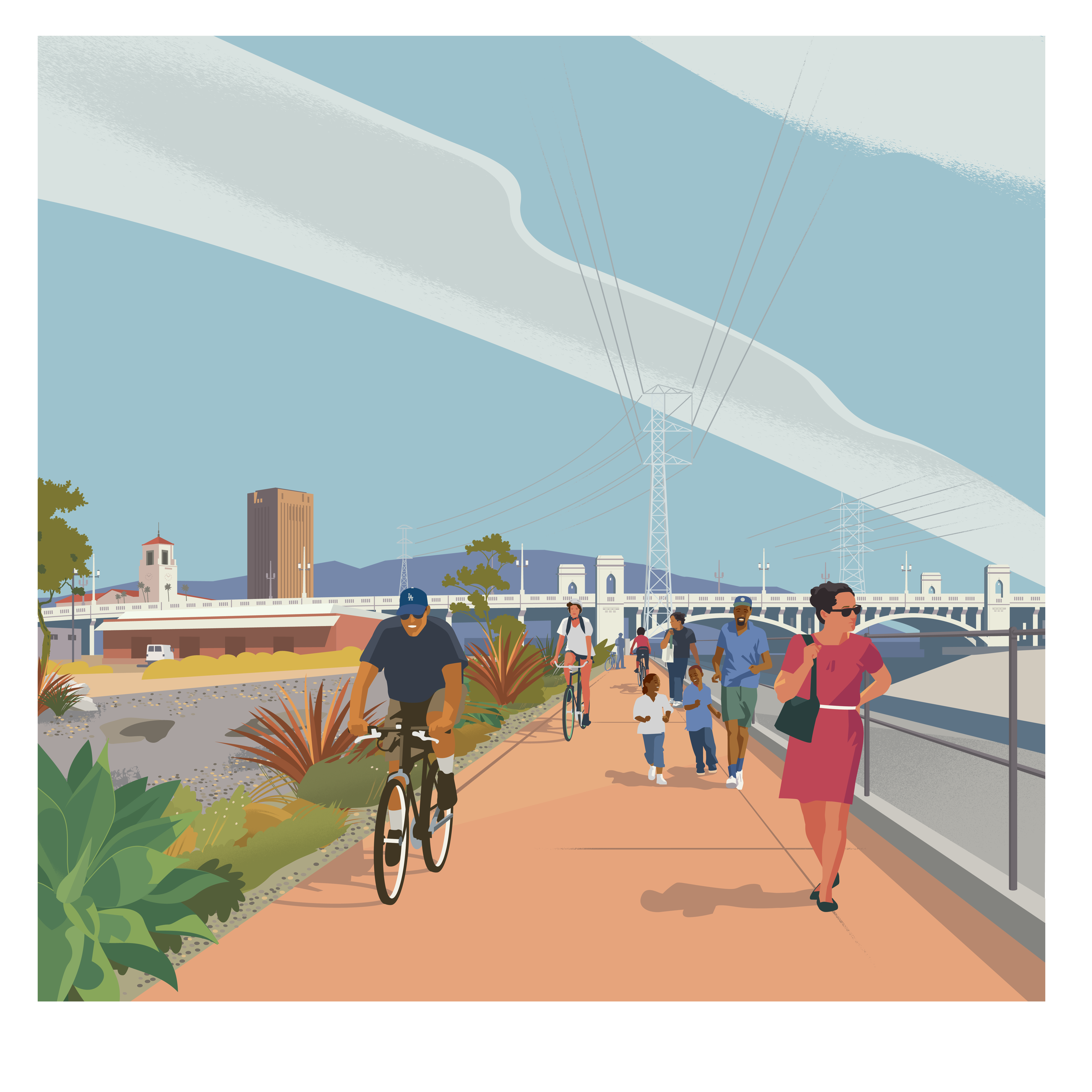
The LA River Path would provide a continuous, dedicated space for walking and biking along the LA River through Elysian Valley, Cypress Park, Lincoln Heights, Chinatown, Downtown Los Angeles, the Arts District, Boyle Heights, Vernon and Maywood – many of these communities lack access to safe and convenient walking and cycling opportunities.
In addition, the project would close the eight-mile gap in the current walking/bike path between Elysian Valley and Maywood and would result in a continuous 32-mile path between the San Fernando Valley and Long Beach. That would also provide for safer routes for non-drivers of all ages and improve access to jobs, schools, healthcare, parks and provide investments in equity-focused communities.
The purpose of the Draft EIR is to analyze seven alternatives for the project and the potential impacts of each on the environment. The Draft EIR addresses topics from air quality, cultural resources to transportation and utilities, among others. Five of the seven alternatives close the eight-mile gap, while two are shorter versions which partially close the gap. Here is a description of each alternative:
The Proposed Project Includes seven river crossings and nine new access points: four on the west bank and five on the east bank of the river.
Option 1: Includes six river crossings and eleven new access points: six on the west bank and five on the east bank of the river.
Option 2: Includes seven river crossings and nine new access points: four on the west bank and five on the east bank of the river.
Mostly-East Bank Alternative: Includes five river crossings and nine new access points: three on the west bank and six on the east bank of the river.
Mostly-West Bank Alternative: Includes six river crossings and 10 new access points: six on the west bank and four on the east bank of the river.
Shortened Northern Path Alternative: A shortened version of Proposed Project between Riverside Drive and Sixth Street, with four river crossings and five new access points: two on the west bank and three on the east bank of the river, covering approximately 3.2 miles.
Shortened Southern Path Alternative: A shortened version of the Proposed Project between First Street and Atlantic Boulevard with four river crossings and six new access points: three on the west bank and three on the east bank of the river, covering approximately 5 miles.
Metro will also be hosting four public hearings so that the you can learn more about the project and provide feedback from December 18, 2025, through February 2, 2026. You can provide feedback orally or in writing at the public hearings on:
All Metro meetings are accessible to persons with disabilities. Spanish translation provided. Other ADA accommodations and translations available by calling 323.466.3876 at least 72 hours in advance.
To provide comments on the project, visit the project website at metro.net/lariverpath and provide comments through the web-based, user-friendly platform through the project website. You can also provide comments via the methods below.
All comments received during the public review and comment period will be responded to in the Final EIR. Remember, all public comments must be submitted by February 2, 2026.
Read the Draft EIR at metro.net/lariverpath. Printed copies are also available for public viewing at the following locations during regular business hours:
